
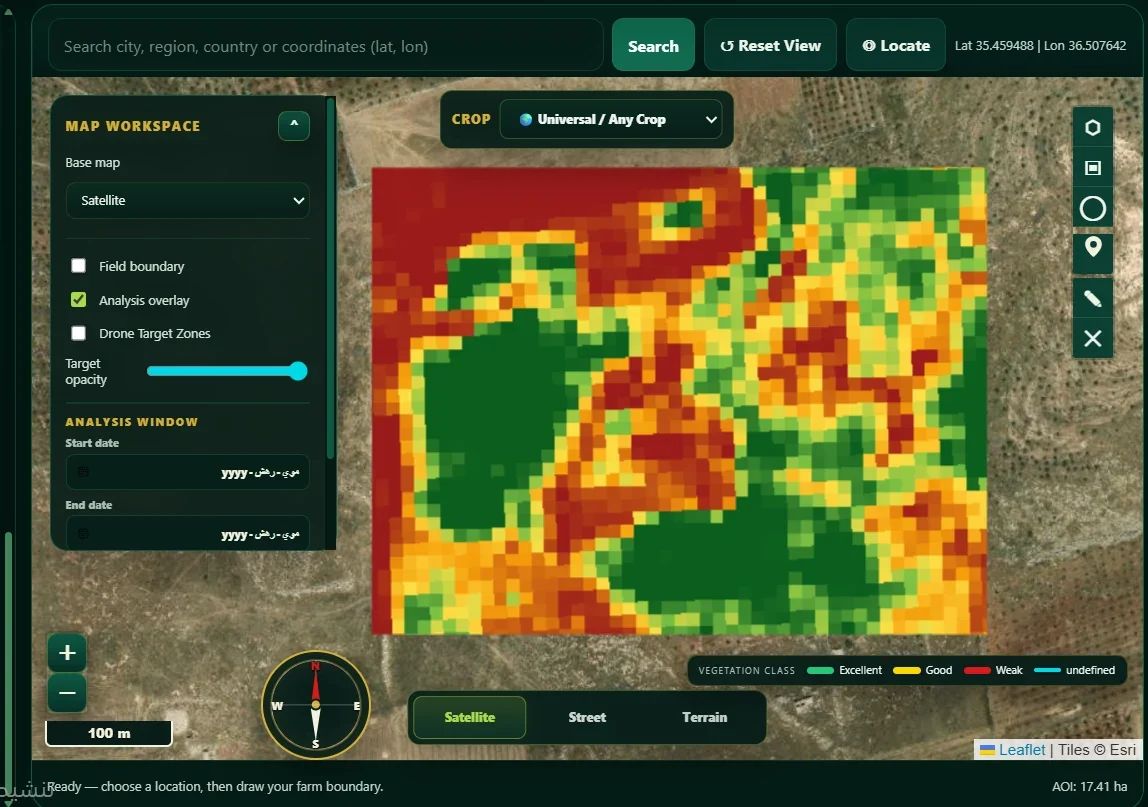
 Windows desktop application
01 / 04Iterative development
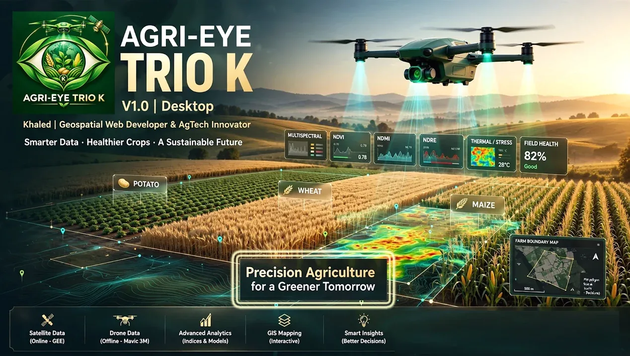
AGRI-EYE TRIO K
Hybrid geospatial agricultural decision-support application
A desktop application concept that brings GIS, satellite remote sensing and drone GeoTIFF analysis into one agricultural workflow. It is designed to support field boundaries, crop monitoring, indicator comparison, candidate-zone screening and report export through both online and offline workflows.
- Field mapping and GIS-oriented workspace
- Satellite indicators and time-based comparison, where data are available
- Drone imagery / GeoTIFF workflows and exportable reports
- Screening indicators are proxies to support review, not definitive diagnoses